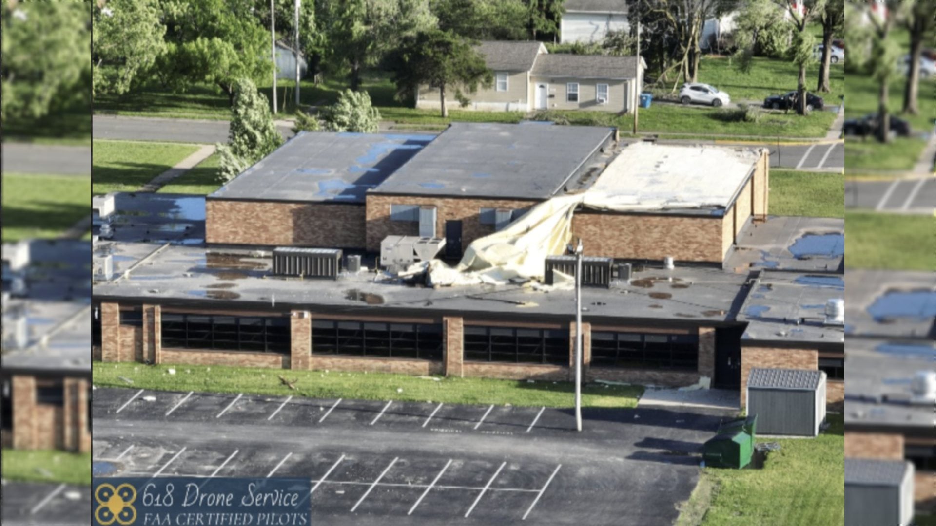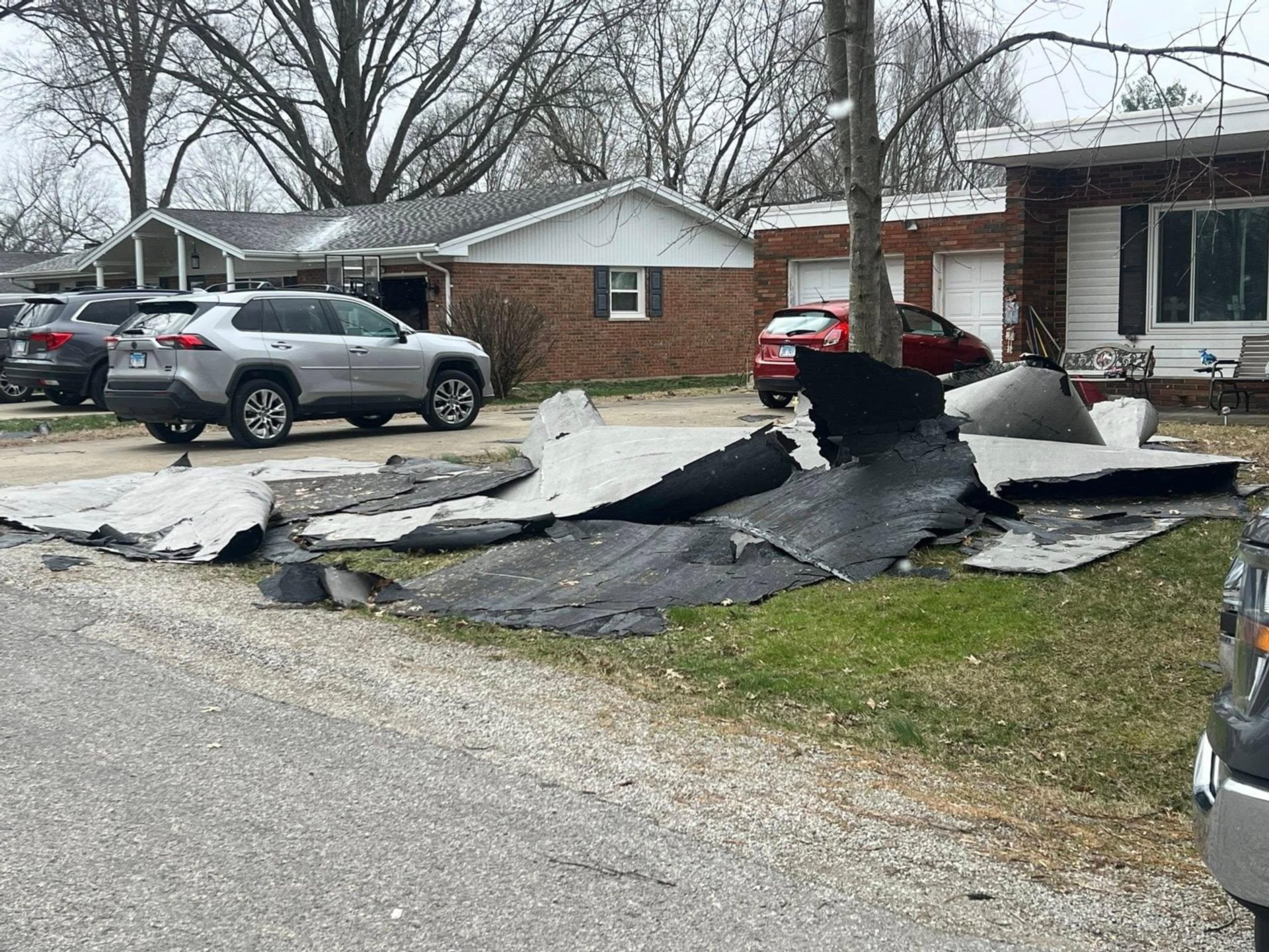

 ST. LOUIS — The National Weather Service in St. Louis confirmed today (Monday, March 17, 2025) that two tornadoes struck St. Clair County on Friday, March 14, 2025. An EF-1 tornado began on the northeast side of O’Fallon and moved into northern Lebanon, while an EF-2 tornado originated in northern Mascoutah and continued northeast into Clinton County.
Alex Elmore, a meteorologist with the National Weather Service in St. Louis, provided details on the tornadoes, stating that the EF-1 tornado had peak winds of 109 mph. The EF-2 tornado reached even higher wind speeds, with gusts up to 120 mph as it tracked northeast of Mascoutah, passing south of Summerfield and Trenton.

Get The Latest News!
Don't miss our top stories and need-to-know news everyday in your inbox.
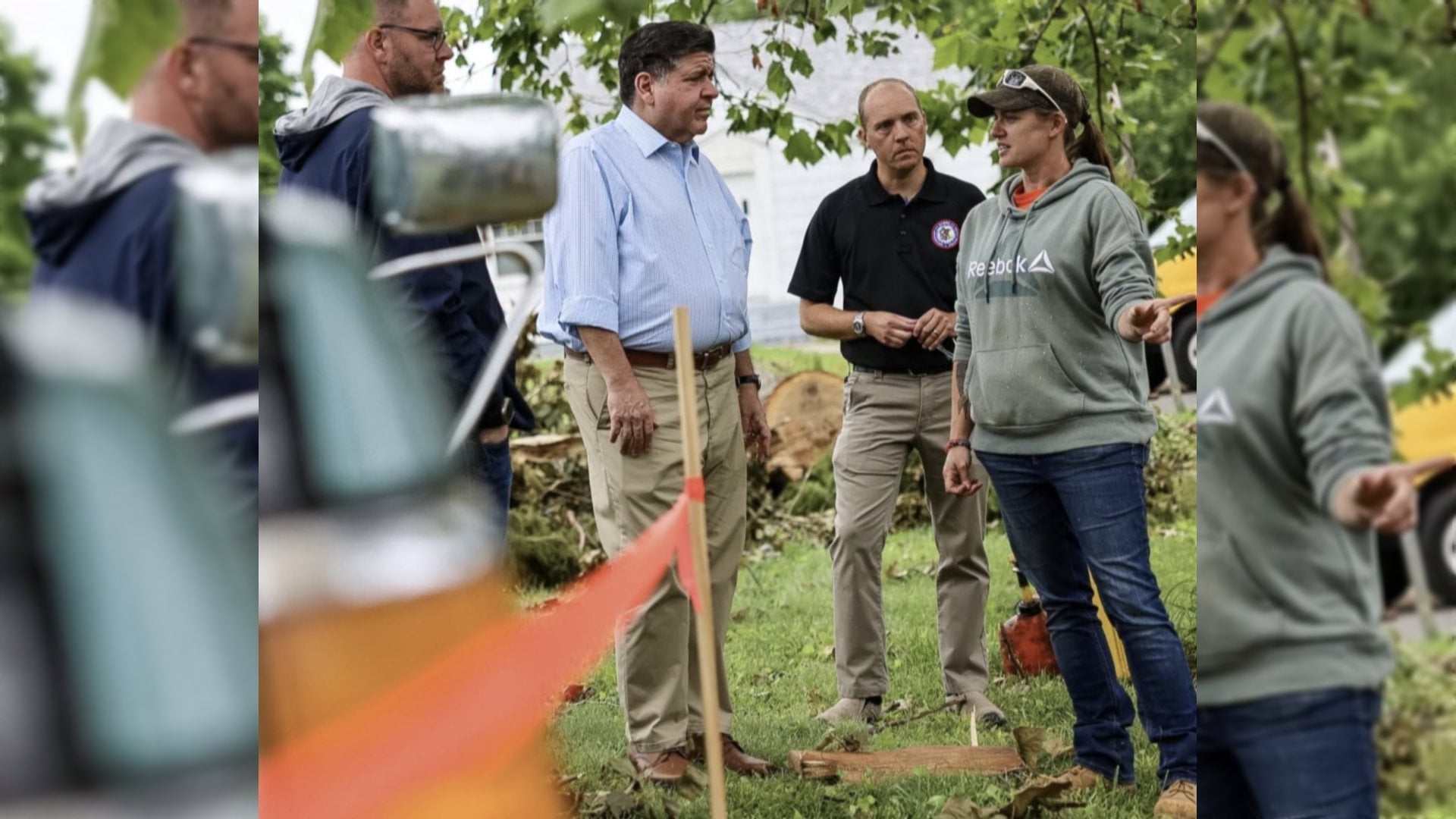
Elmore noted that two teams are currently in the field assessing damage and searching for additional tornadoes. One team has been dispatched to Randolph County, IL., while another is heading to the Arnold, MO., area to survey reported tornado damage.
The National Weather Service is expected to release full storm tracks and additional details about the tornadoes in the coming days.